
Eyes on Earth Episode 123 – Bathymetry Mapping
- Source
- usgs.gov
- Published
- Sep 12, 2024
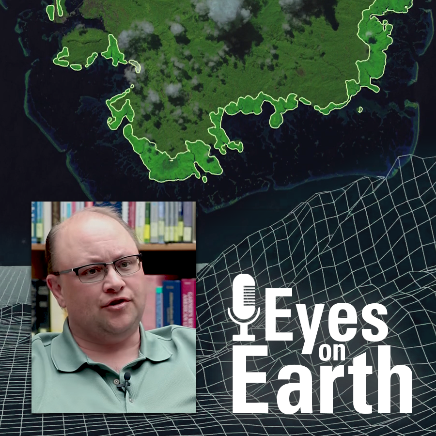
This Eyes on Earth episode is the third in our series on using Landsat for coastal studies. We talk to physical geographer Jeff Danielson about bathymetry and how it is critical for coastal modeling. Bathymetry captures the shape of underwater topography, and satellite-derived bathymetry helps fill in areas where there are data gaps. Even though Landsat was designed to image land, it’s a big part of this work because of its systematic temporal coverage. Besides that, high-resolution data from sonar and lidar are too labor intensive to collect everywhere. Therefore, they use all these sources together to get a better picture of bathymetry, especially in remote areas. This modeling helps with studying changes to shorelines such as storm surge, sediment transport, and flood damage.
Info
- Published
- Sep 12, 2024
- Uploaded
- Jun 24, 2026
- Uploaded by
Trevor McFedries
- Queried
- 0 times
Appears in
