Eyes on Earth Episode 133 – Vietnam War Bomb Craters
- Source
- usgs.gov
- Published
- Apr 21, 2025
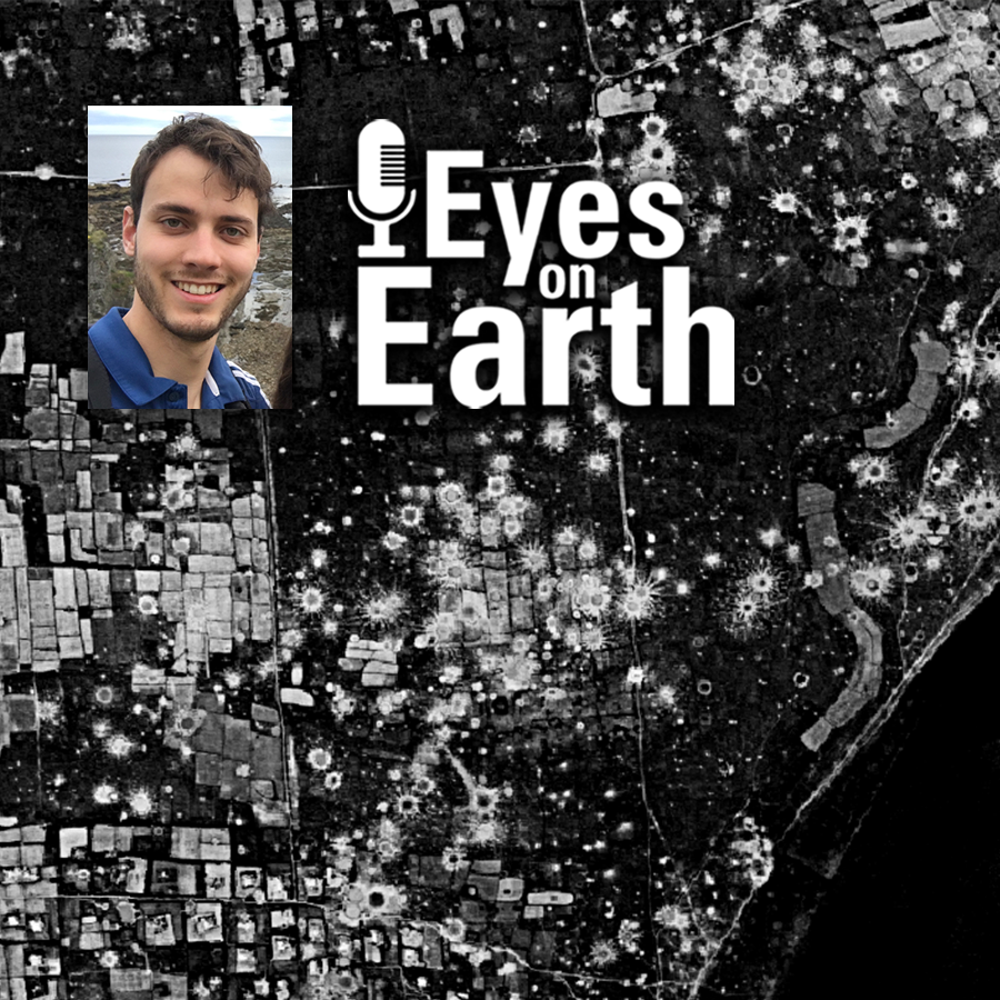
Declassified spy satellite imagery, distributed by the USGS EROS Center, is finding fascinating uses since being made available to the public starting in the 1990s. In this episode of Eyes on Earth, we talk with Philipp Barthelme from the University of Edinburgh, who used imagery from the declassified HEXAGON and CORONA satellites to map bomb craters and herbicide spray lines from the Vietnam War. These features appear in the black and white photos quite clearly, so Barthelme worked out machine learning methods to automatically detect them. This method can help narrow down where to search for unexploded weapons and focus on the areas that are most contaminated.
Eyes on Earth
Eyes on Earth Episode 133 – Vietnam War Bomb Craters
0:000:00
Info
- Published
- Apr 21, 2025
- Uploaded
- Jun 24, 2026
- Uploaded by
Trevor McFedries
- Queried
- 0 times
Appears in

More
Use with your agent
Have your agent query this content directly
Download package
Unlocks the raw transcripts and files to use as you please
Discover playbooks
Create a repeatable workflow using this source